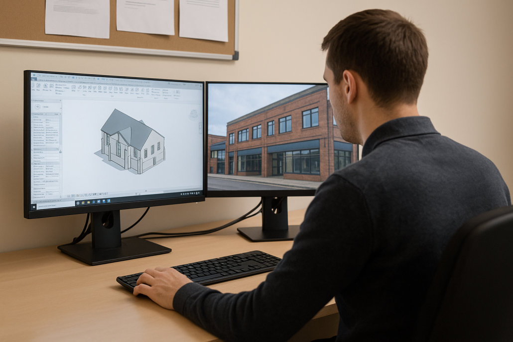
3D data from the ground and from the air
Our practice combines deep expertise in historic building conservation with advanced digital surveying techniques to deliver a highly detailed imagery. Using drone-based photography, we safely capture high-resolution imagery of buildings and structures that would otherwise be difficult, costly, or risky to access.
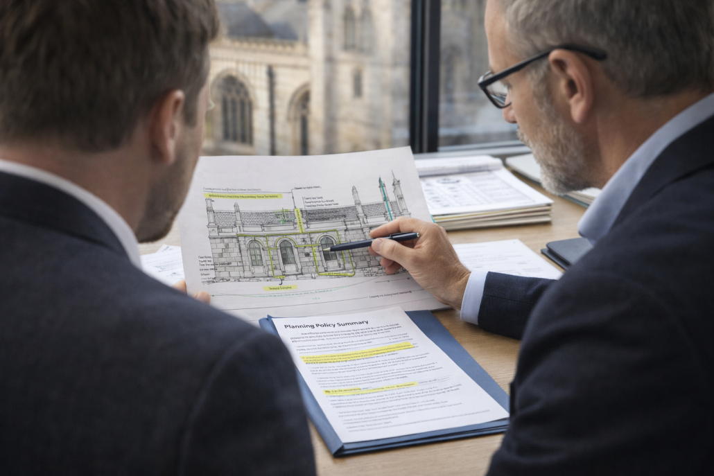
From this data, we can identify defects, generate accurate 2D drawings, or even produce detailed 3D models. this information can be invaluable in assessing the condition of historic buildings, planning repair and maintenance works, or even the creation of immersive unique heritage interpretation experiences.
Applications include:
- High-resolution drone photography for assessing existing building condition
- Photogrammetric surveys producing accurate, measurable drawings
- Detailed 3D digital models for immersive exploration and visualisation
- Historic building recording for planning, consent, and archival purposes
- Heritage interpretation material to support engagement and storytelling
- Repeatable surveys over time to monitor change and inform change and deterioration.


